NWS: Red Flag Warning + Fire Weather Watch Tues - Weds (4/19-4/20/22)
Description: The National Weather Service Office of Pueblo has issued a Red Flag Warning and Fire Weather Watch for the Southeast Plains on April 20, 2022.

URGENT - FIRE WEATHER MESSAGE
National Weather Service Pueblo CO 232 PM MDT Tue Apr 19 2022
...Red Flag Warning remains in effect from 11 AM to 9 PM today for gusty winds and low humidity values for fire weather zones 221, 222, and 224 through 237 which includes the San Luis Valley, the Sangre de Cristo an Wet Mountains, Fremont and Teller Counties, and all of the eastern plains...
...A Red Flag Warning has been issued from 12 PM to 8 PM Wednesday afternoon and evening for gusty winds and low humidity values for fire weather zones 221...222...224...225...AND 229...which includes the San Luis valley, the Sangre De Cristos and Wet Mountains, Fremont, Teller, and Huerfano counties...
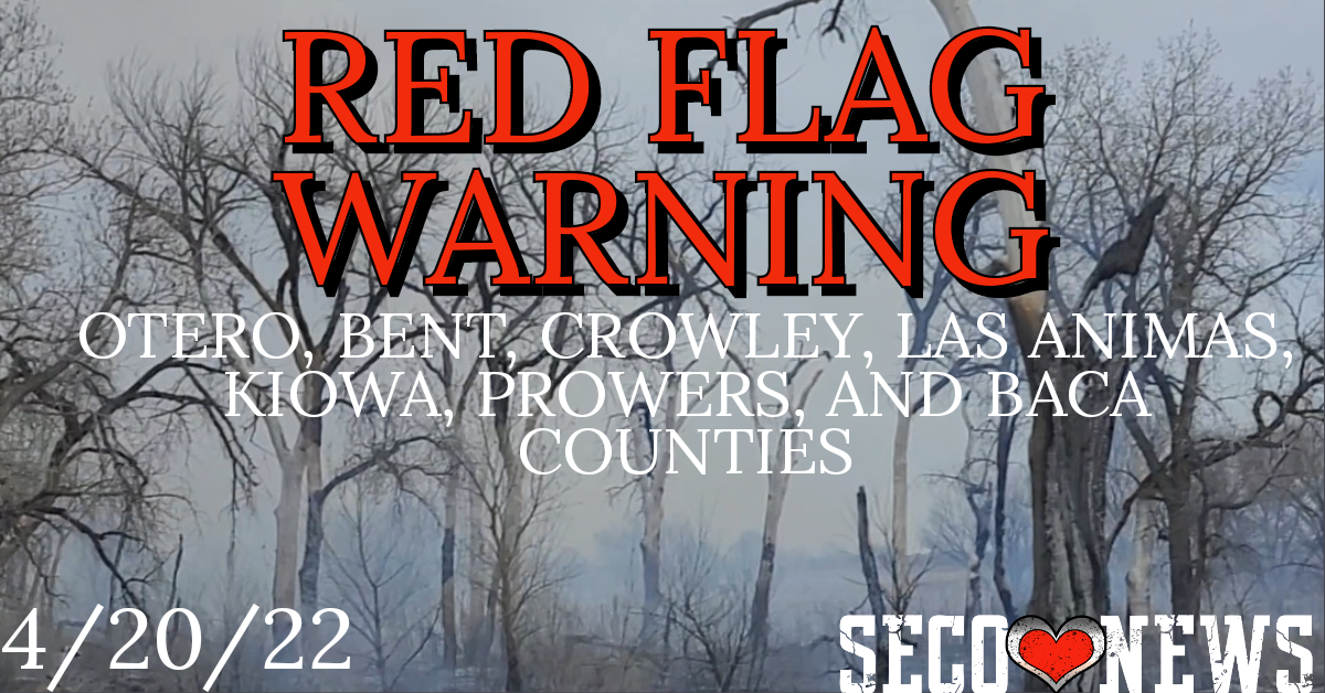
...A Fire Weather Watch remains in effect for Wednesday afternoon and evening for gusty winds and low humidity values for fire weather zones 227... and 228... which include southern El Paso and Pueblo Counties... COZ226-230>237-200300- /O.CON.KPUB.FW.W.0028.000000T0000Z-220420T0300Z/ Northern El Paso County Including Monument and Black Forest- Western Las Animas County Including Trinidad and Thatcher- Crowley County Including Ordway- Otero County Including La Junta and Western Comanche Grasslands- Eastern Las Animas County Including Pinon Canyon- Kiowa County Including Eads-Bent County Including Las Animas- Prowers County Including Lamar- Baca County Including Springfield and Eastern Comanche Grasslands- 232 PM MDT Tue Apr 19 2022
...RED FLAG WARNING REMAINS IN EFFECT UNTIL 9 PM MDT THIS EVENING FOR GUSTY WINDS, LOW RELATIVE HUMIDITY, AND DRY FUELS FOR FIRE WEATHER ZONES 226...230... 231...232...233...234...235...236 AND 237... * Affected Area...Fire Weather Zones 226...230...231...232... 233...234...235...236 and 237.
* Winds...Southwest 15 to 25 mph with gusts up to 45 mph.
* Timing...Tuesday from 11 AM to 9 PM. * Relative Humidity...As low as 9 percent.
* Impacts...Conditions will be favorable for rapid rates of fire growth and spread.
PRECAUTIONARY/PREPAREDNESS ACTIONS...
A Red Flag Warning means that critical fire weather conditions are either occurring now, or will shortly. A combination of strong winds, low relative humidity, and warm temperatures can contribute to extreme fire behavior.
Follow SECO Weather and SECO News on Facebook.
Follow SECO News on Facebook.
Subscribe to the SECO News YouTube Channel.
SECO Weather Sponsor
.png)


.png)


.png)


.png)


.png)


