NWS: High Winds and Red Flag Warning 4/29/22
Description: Red Flag Warning remains in effect from 9 AM until 9 PM MDT today for gusty winds and low relative humidity for fire weather...

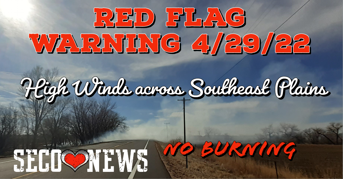
High Wind Warning and Red Flag Warning Issued by NWS Office of Pueblo for April 29, 2022
This hazardous weather outlook is for portions of central...east central...south central and southeast Colorado. .
DAY ONE...Today and Tonight Strong west to northwest winds of 25 to 35 mph, with gusts of 50 to 60 mph are expected today, with widespread critical to extreme fire weather conditions across most of south central and southeast Colorado. Some areas of blowing dust with visibility dropping below a mild at times will also be possible today, especially across the San Luis Valley and southeast plains. An isolated thunderstorm is possible across Kiowa County this afternoon, with lightning and gusty winds the main storm threats. .
DAYS TWO THROUGH SEVEN...Saturday through Thursday One or two strong to severe thunderstorms will be possible across the far southeast plains Sunday afternoon, with the main storm threats being strong wind gusts and large hail. Scattered showers and thunderstorms will be possible across northern portions of the area, generally along and north of the Highway 50 Corridor, later Sunday and Monday and again later Tuesday and Wednesday, as a few weather systems move across the Rockies. The movement of these systems will bring periods of generally light snowfall to portions of the Continental Divide, especially the higher terrain of the Central Mountains, later Sunday and Monday, with light snow accumulations also possible Tuesday and Wednesday. The movement of these systems will also bring ebbs and flows in critical fire weather conditions across the area, with more widespread Red Flag conditions possible across the San Luis Valley into the I-25 Corridor on Sunday and again on Tuesday. .
SPOTTER INFORMATION STATEMENT... Conditions that meet reporting criteria for spotters will be possible over the San Luis Valley and southeast plains today.
...Red Flag Warning remains in effect from 9 AM until 9 PM MDT today for gusty winds and low relative humidity for fire weather zones 220 through 222 and 224 through 237, which includes Teller, Lake and Chaffee Counties, the San Luis Valley, Fremont County, the Wet and Sangre de Cristo Mountains, the Wet Mountain Valley and all of the southeast plains...
RED FLAG WARNING ISSED BY NWS:
Winds...Northwest 30 to 40 mph with gusts up to 55 mph.
* Relative Humidity...As low as 5 percent.
* Impacts...Conditions may be favorable for rapid rates of fire growth and spread. PRECAUTIONARY/PREPAREDNESS ACTIONS...
A Red Flag Warning means that critical fire weather conditions are either occurring now, or will shortly. A combination of strong winds, low relative humidity, and warm temperatures can contribute to extreme fire behavior.
Follow SECO Weather on Facebook.
Follow SECO News on Facebook.
Subscribe to the SECO News YouTube Channel.
SECO Weather Sponsor
.png)


.png)


.png)


.png)


.png)


