NWS: Fire Weather Watch + Red Flag Warning 5/7/22
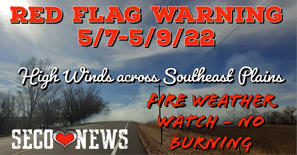
Description: The National Weather Service Office of Pueblo has issued a Fire Weather Watch and Red Flag Warning for all of the Southeast Colorado Plains through Monday Evening.

Fire Weather Watch
URGENT - FIRE WEATHER MESSAGE National Weather Service Pueblo CO 535 AM MDT Sat May 7 2022
...Red Flag Warning remains in effect for today, from 10 AM to 9 PM MDT, for strong winds and low relative humidity, for Fire Weather Zones 220 through 237, which includes the Eastern San Juan mountains, the Southern Mountains, Pikes Peak region, the central mountains, the San Luis Valley and all of the southeast plains of Colorado...
...Fire Weather Watch remains in effect for Sunday morning through Sunday evening, for strong winds and low relative humidity, for Fire Weather Zones 220 through 237, which includes the Eastern San Juan mountains, the Southern Mountains, Pikes Peak region, the central mountains, the San Luis Valley and all of the southeast plains of Colorado...
...Fire Weather Watch remains in effect for Monday morning through Monday evening, for strong winds and low relative humidity, for Fire Weather Zones 220 through 237, which includes the Eastern San Juan mountains, the Southern Mountains, Pikes Peak region, the central mountains, the San Luis Valley and all of the southeast plains of Colorado...
COZ231>237-080345- /O.CON.KPUB.FW.W.0040.220507T1600Z-220508T0300Z/ /O.CON.KPUB.FW.A.0034.220508T1700Z-220509T0300Z/ /O.CON.KPUB.FW.A.0035.220509T1600Z-220510T0300Z/
Crowley County Including Ordway- Otero County Including La Junta and Western Comanche Grasslands- Eastern Las Animas County Including Pinon Canyon- Kiowa County Including Eads-Bent County Including Las Animas- Prowers County Including Lamar- Baca County Including Springfield and Eastern Comanche Grasslands- 535 AM MDT Sat May 7 2022
...RED FLAG WARNING REMAINS IN EFFECT FROM 10 AM THIS MORNING TO 9 PM MDT THIS EVENING FOR GUSTY WINDS AND LOW RELATIVE HUMIDITY FOR FIRE WEATHER ZONES 231...232...233...234...235...236 AND 237...
...FIRE WEATHER WATCH REMAINS IN EFFECT FROM SUNDAY MORNING THROUGH SUNDAY EVENING FOR GUSTY WINDS AND LOW RELATIVE HUMIDITY FOR FIRE WEATHER ZONES 231...232...233...234...235...236 AND 237...
...FIRE WEATHER WATCH REMAINS IN EFFECT FROM MONDAY MORNING THROUGH MONDAY EVENING FOR GUSTY WINDS AND LOW RELATIVE HUMIDITY FOR FIRE WEATHER ZONES 231...232...233...234...235...236 AND 237...
* Affected Area...Fire Weather Zones 231...232...233...234... 235...236 and 237.
* Winds...Southwest 20 to 30 mph with gusts up to 45 mph.
* Timing...Strongest winds will occur during the afternoon hours of Saturday, Sunday and Monday.
* Relative Humidity...As low as 7 percent.
* Impacts...Conditions will be favorable for rapid rates of fire growth and spread. PRECAUTIONARY/PREPAREDNESS ACTIONS... A Red Flag Warning means that critical fire weather conditions are either occurring now, or will shortly. A combination of strong winds, low relative humidity, and warm temperatures can contribute to extreme fire behavior. A Fire Weather Watch means that critical fire weather conditions are forecast to occur. Listen for later forecasts and possible Red Flag Warnings.
Hazardous weather outlook 434 AM MDT Sat May 7 2022
.DAY ONE...Today and Tonight Critical fire weather conditions are expected to occur across the entire region today into this evening. Please do not do anything which may cause a spark. Localized strong gusty winds of 65 to 75 mph will be possible along the east slopes of the southern Sangre De cristo mountains late tonight. Winds of 55 to 65 mph will be possible over the southern San Juans generally south of Wolf Creek Pass, and across the southern sections of the Wet Mountains. An isolated thunderstorm may occur over the central mountains this evening, with the best chance occurring north of Cottonwood Pass. The main concern will be cloud to ground lightning which will have the potential to cause a wildfire start.
.DAYS TWO THROUGH SEVEN
...Sunday through Friday More widespread critical fire weather conditions are expected each day through the end of the forecast period, with prolonged periods of low relative humidity and gusty winds.
Follow SECO News on Facebook.
Subscribe to the SECO News YouTube Channel.
SECO Weather Sponsor
.png)


.png)


.png)


.png)


.png)


