NWS: Flash Flood Warning 8/6/22
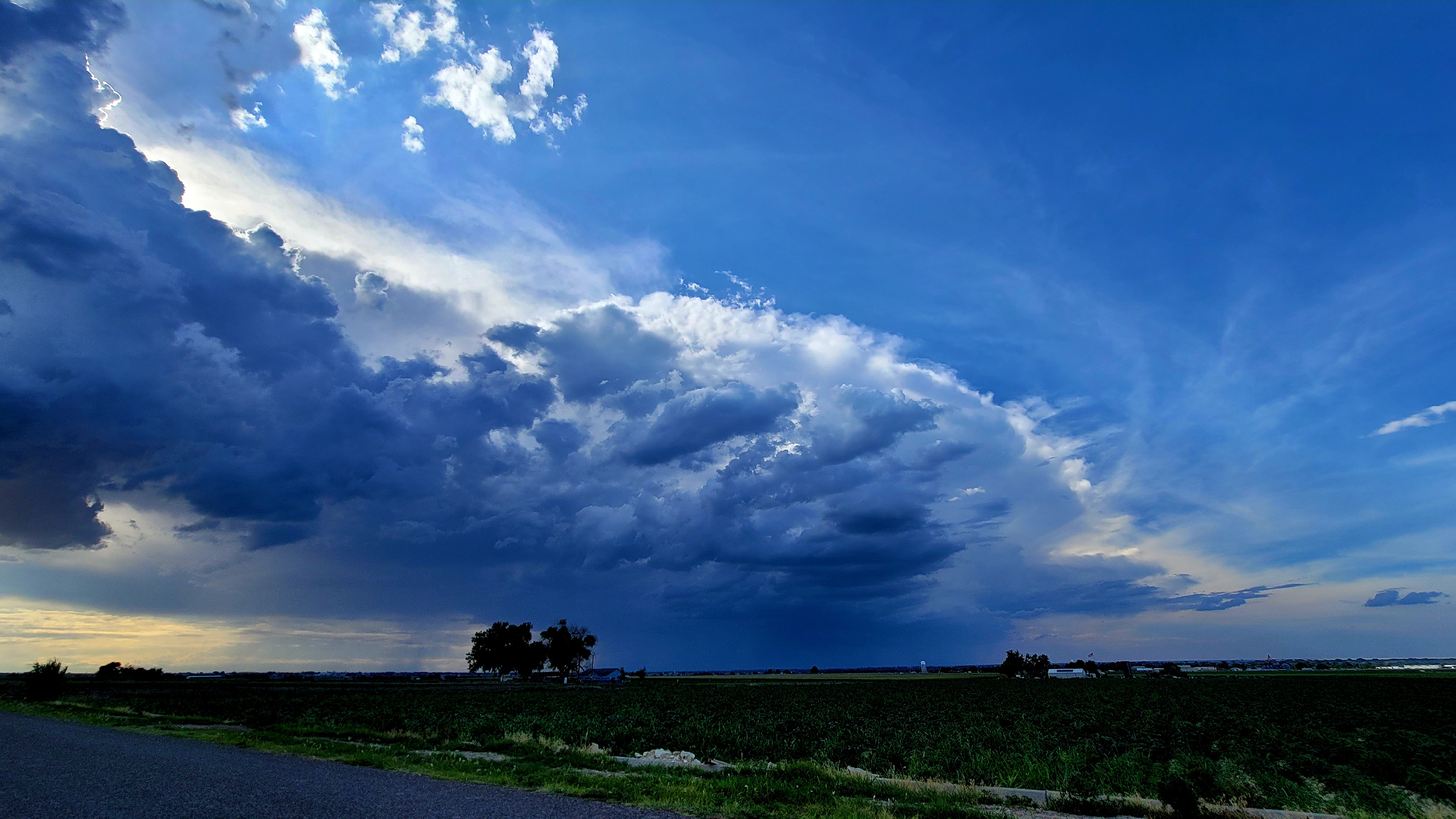
Description: Tonight's Southeast Colorado Thunderstorm as seen looking Northwest from Otero County Rd BB at 5:10 PM.

NWS: Flash Flood Warning 8/6/22
Flash Flood Warning National Weather Service Pueblo CO 605 PM MDT Sat Aug 6 2022
The National Weather Service in Pueblo has issued a * Flash Flood Warning for... West Central Bent County in southeastern Colorado... Southeastern Crowley County in southeastern Colorado... Northeastern Otero County in southeastern Colorado...
* Until 930 PM MDT. * At 605 PM MDT, Doppler radar indicated thunderstorms producing heavy rain across the warned area. Flash flooding is ongoing or expected to begin shortly.
HAZARD...Life threatening flash flooding. Thunderstorms producing flash flooding.
SOURCE...Radar.
IMPACT...Life threatening flash flooding of creeks and streams, urban areas, highways, streets and underpasses. * Some locations that will experience flash flooding include... La Junta, North La Junta, Rocky Ford, Las Animas, Swink and Cheraw. This is includes highway 50.
PRECAUTIONARY/PREPAREDNESS ACTIONS... Turn around, don`t drown when encountering flooded roads. Most flood deaths occur in vehicles. In hilly terrain there are hundreds of low water crossings which are potentially dangerous in heavy rain. Do not attempt to cross flooded roads. Find an alternate route.
Follow SECO Weather on Facebook.
Follow SECO News on Facebook.
Subscribe to the SECO News YouTube Channel.
SECO Weather Sponsor
.png)


.png)


.png)


.png)


.png)


.png)


