Weather Forecast Feb10-16th
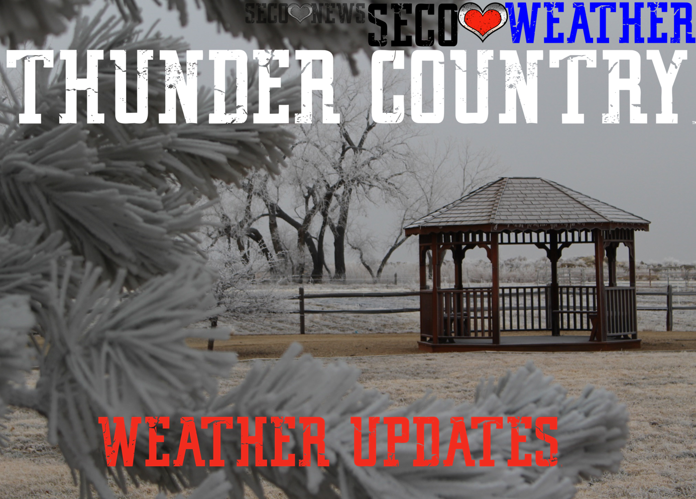
Description: Freezing Fog till 8am on Wednesday and the cold week continues
Published: 02/10/2021
Byline: Sperra

Wednesday
Areas of freezing fog before 9am. Mostly cloudy, with a high near 23. Wind chill values between -5 and 5. East wind 10 to 15 mph.
Wednesday Night
Patchy fog after 5am. Otherwise, mostly cloudy, with a low around 7. Wind chill values between -5 and zero. East southeast wind around 10 mph.
Thursday
Patchy fog before 9am. Otherwise, mostly cloudy, then gradually becoming sunny, with a high near 34. Wind chill values between -5 and 5. East southeast wind 5 to 15 mph.
Thursday Night
Patchy fog after 1am. Otherwise, increasing clouds, with a low around 5. East wind around 15 mph.
Friday
Cloudy, with a high near 19. Breezy, with an east southeast wind 15 to 20 mph.
Friday Night
A 20 percent chance of snow before 11pm. Mostly cloudy, with a low around -3. East wind 10 to 15 mph.
Saturday
Mostly cloudy, with a high near 14. East northeast wind 10 to 15 mph.
Saturday Night
A 40 percent chance of snow after 11pm. Mostly cloudy, with a low around -5. East wind around 10 mph.
Sunday
A 50 percent chance of snow. Patchy blowing snow between 11am and noon. Cloudy and cold, with a high near 10. East southeast wind 10 to 15 mph.
Sunday Night
A chance of snow. Mostly cloudy, with a low around -10. East southeast wind 10 to 15 mph.
Washington's Birthday
Partly sunny, with a high near 17. Southeast wind 10 to 15 mph.
Monday Night
Partly cloudy, with a low around -3. Southeast wind around 10 mph.
Tuesday
Partly sunny, with a high near 30. Southwest wind 5 to 10 mph becoming south southeast in the morning.
Follow SECO News on Facebook.
Subscribe to the SECO News YouTube Channel.
SECO Weather Sponsor


.png)


.png)
.png)


.png)


