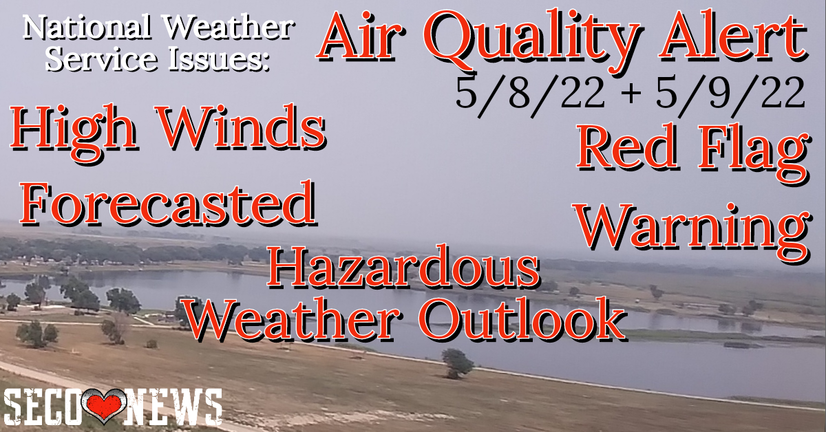
Air Quality Alert Message Relayed by NWS Albuquerque NM Sun May 8, '22
Description: The National Weather Service Office of Pueblo has Relayed an Air Quality Alert from New Mexico NWS. Includes links to Wildfire Smoke Health Information and local hazardous weather outlook.

Air Quality Alert Message Relayed by National Weather Service Albuquerque NM 100 PM MDT Sun May 8 2022
...AIR QUALITY ALERT... The following message is transmitted at the request of the New Mexico Departments of Health and Environment.
* WHAT...Very hot, very dry, and very windy conditions are expected to continue today and for the next couple days with transport winds from the southwest. As a result, blowing smoke and dust are expected to be transported towards the northeast from active fires throughout this period. Winds will diminish overnight except over high terrain areas but should remain elevated enough to prevent smoke impacts in communities down-drainage of large fires overnight.
* WHERE...Blowing smoke and dust are expected to impact areas across much of Colfax, Los Alamos, Mora, southeast Rio Arriba, Sandoval, San Miguel, Santa Fe, and southern Taos counties during the next 24 hours.
This includes, but is not limited to, the following communities: Espanola, La Cueva, Las Vegas, Los Alamos, Mora, Ocate, Ohkay Owingeh, Pojoaque, Pueblo of Santa Clara, Santa Fe, Sapello, and White Rock.
* WHEN...Remainder of this afternoon through noon MDT Monday.
* IMPACTS...Those with conditions such as asthma, chronic obstructive pulmonary disease, interstitial lung disease, lung cancer, and heart disease will be especially vulnerable to impacts from poor air quality, as will adults over age 65, young children, and pregnant women if smoke concentrations become unhealthy.
* HEALTH INFORMATION...Remember, your eyes are your best tools to determine if it is safe to be outside.
Use the 5-3-1 Method available at https://nmtracking.org/environment/air/FireAndSmoke.html.
If visibility is: Under 5 miles, the air quality is unhealthy for young children, adults over age 65, pregnant women, and people with heart and/or lung disease, asthma or other respiratory illness. Outdoor activity should be minimized. Around 3 miles, young children, adults over age 65, pregnant women, and people with heart and/or lung disease, asthma or other respiratory illness should avoid all outdoor activities.
Around 1 mile, the air quality is unhealthy for everyone. People should remain indoors and avoid all outdoor activities including running errands. Unless an evacuation has been issued, stay inside your home, indoor workplace, or in a safe shelter.
With the ongoing COVID-19 pandemic affecting New Mexico and with the wildfire season underway, New Mexicans will need to take extra precautions.
Smoke from wildfires may cause people to have more severe reactions if they are infected COVID-19.
The best way to protect against the potentially harmful effects of wildfire smoke and to reduce the spread of COVID-19 is to stay home and create a clean indoor air space.
NMDOH offers tips here: https://nmtracking.org/environment/air/IndoorQuality.html and https://cv.nmhealth.org New Mexicans will also need to take steps to keep their homes cool to avoid heat-related illnesses.
NMDOH offers tips here: https://nmtracking.org/health/heatstress/Heat.html. For smoke forecast outlooks from the Interagency Wildland Fire Air Quality Response Program please visit: https://outlooks.wildlandfiresmoke.net.
NWS of Pueblo Hazardous Weather Outlook 11:39am Sunday, May 8, 2022
This hazardous weather outlook is for portions of central...east central...south central and southeast Colorado.
.DAY ONE...This Afternoon and Tonight Critical to extreme fire weather conditions are expected through much of tonight across southern Colorado. Humidity values will be low this afternoon, under 10 percent, with strong southwesterly flow with gusts near 50 mph into this evening. Areas along the Eastern Mountains, out into the Interstate 25 corridor, will see dangerous fire weather conditions prevail overnight into Monday morning. Humidity recoveries are only expected to reach around 20 percent. Adding to the fire weather risk will be the very strong winds.
A mountain wave is forecast to develop overnight with winds 60 to 80 mph possible over the Eastern Mountains, down along the lee slopes, mainly west of Interstate 25. Should a fire start, it will grow rapidly.
High winds are expected over the San Juan Mountains, Sangre de Cristo and Wet Mountains, and the Rampart Range. Strong winds will move down the lee slopes into the Interstate 25 corridor. Gusts 60 to 80 mph, and possibly higher, are possible. This will produce dangerous cross winds on Interstate 25 and light weight and high profile vehicles will be prone to blowing over. These strong winds may also produce areas of blowing dust, producing restricted visibilities on area highways. Peak winds are most likely from 3 AM through 8 AM.
.DAYS TWO THROUGH SEVEN...Monday through Saturday Widespread dangerous fire weather conditions are expected each day through the end of the forecast period, with prolonged periods of low relative humidity and gusty winds. The most critical conditions look to occur Monday, and once again Wednesday into Thursday.
High winds are expected Monday morning over the San Luis Valley, along the Rampart Range, Wet and Sangre de Cristo Mountains, and down along the lee slopes to near the Interstate 25 corridor. Gusts in excess of 60 mph are likely.
An isolated strong to severe storm may be possible Wednesday afternoon over the far Eastern Plains. Strong outflow winds and damaging hail would be the primary severe risks with storms out near the Kansas border.
Follow SECO News on Facebook.
Subscribe to the SECO News YouTube Channel.
SECO Weather Sponsor
.png)


.png)


.png)


.png)


.png)


.png)


