NWS: High Wind Warning +Red Flag Warning Dec 2, 2022
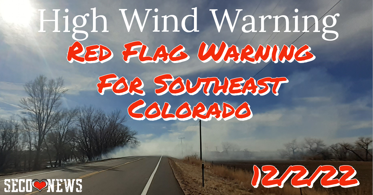
Description: The National Weather Service Office of Pueblo has issued a high wind warning and red flag warning for Southeast Colorado Friday. Dec. 2, 2022. Includes Hazardous Weather Outlook.

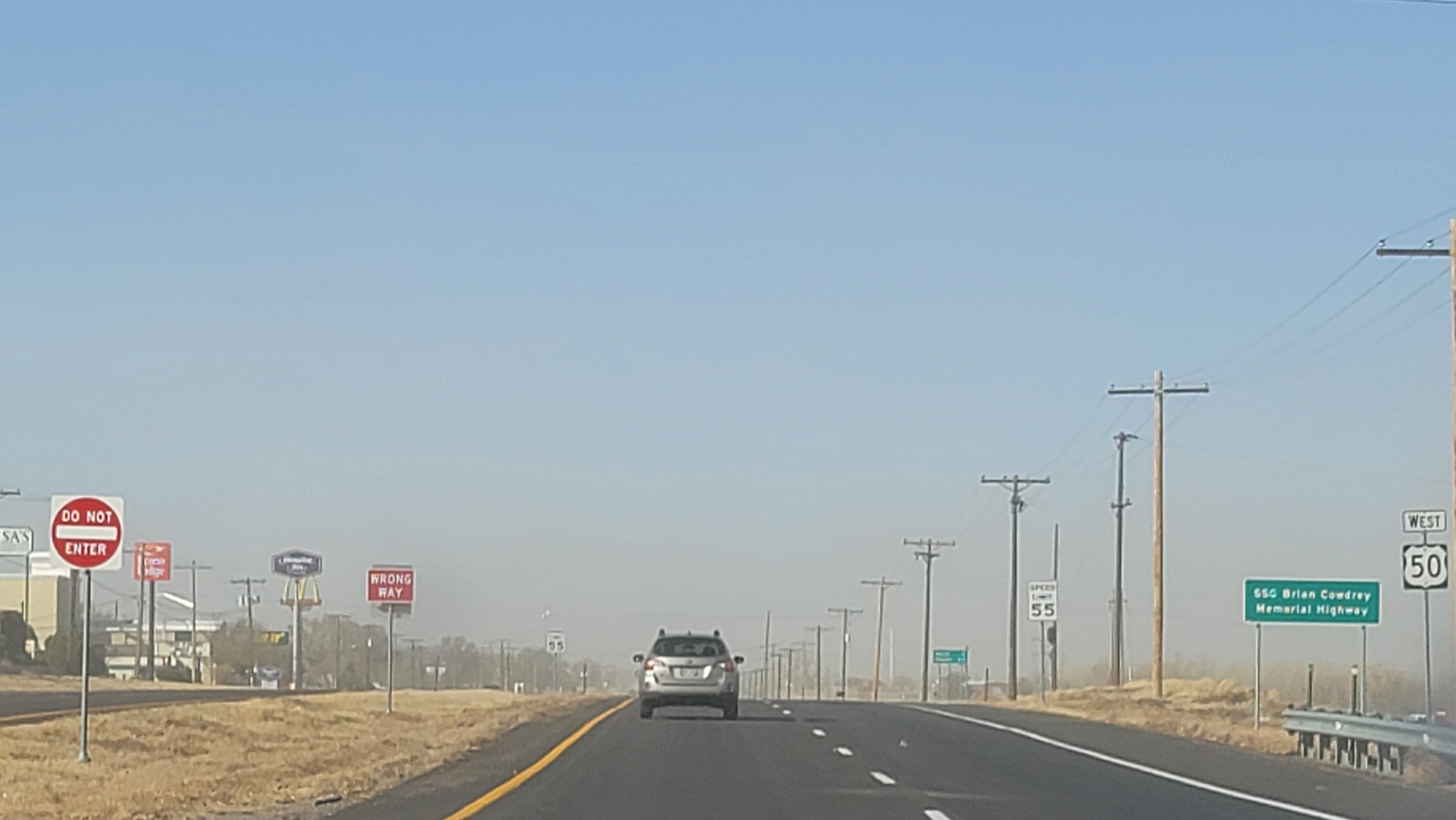
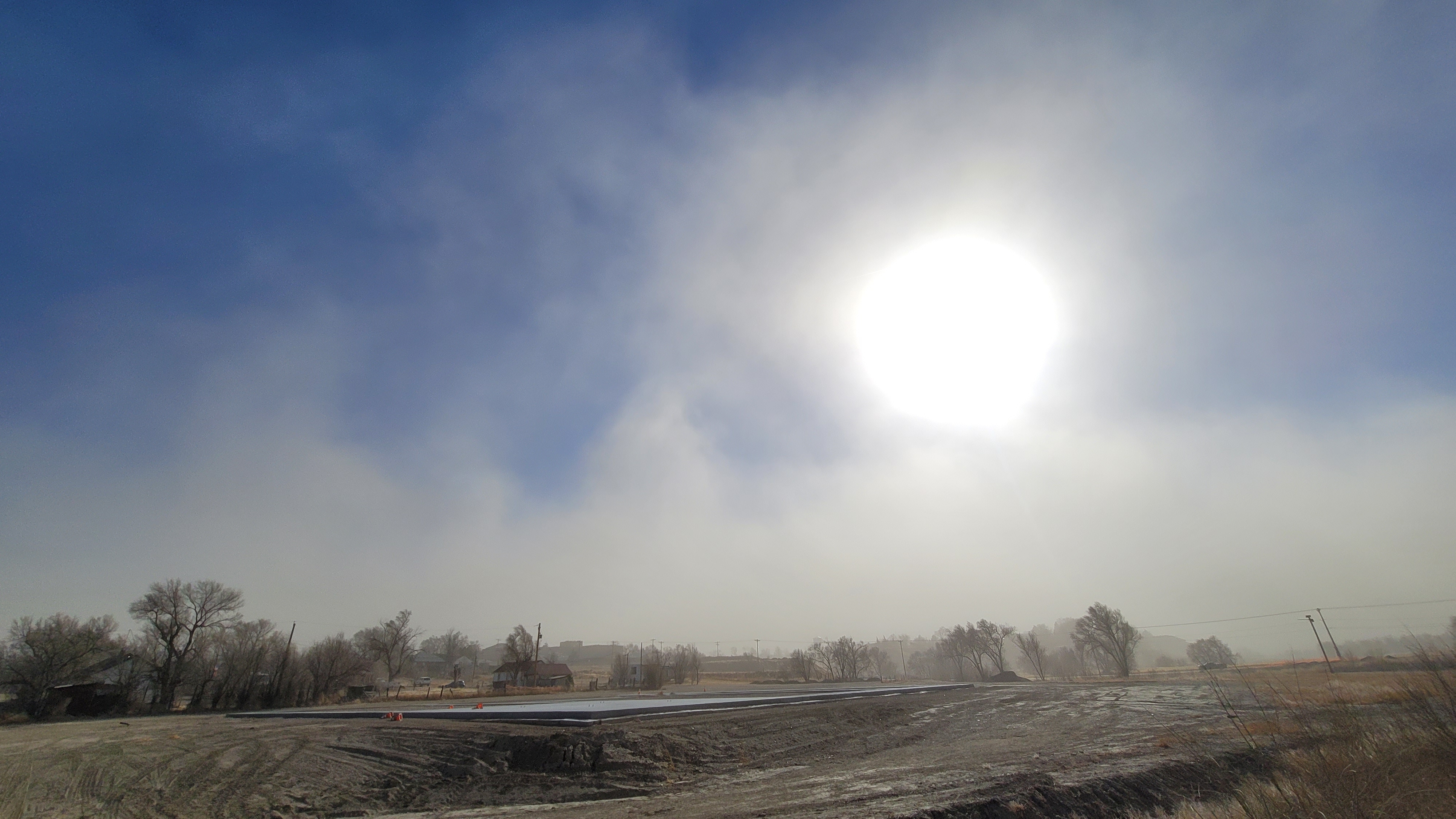
Photo Gallery Below
344 AM MST Fri Dec 2 2022 ...HIGH WIND WARNING REMAINS IN EFFECT FROM 7 AM THIS MORNING TO 5 PM MST THIS AFTERNOON...
* WHAT...West winds 30 to 40 mph with gusts up to 65 mph expected.
* WHERE...The far eastern plains of southeast Colorado.
* WHEN...From 7 AM to 5 PM MST Friday.
* IMPACTS...Damaging winds will blow down trees and power lines. Widespread power outages are expected. Travel will be difficult, especially for high profile vehicles.
PRECAUTIONARY/PREPAREDNESS ACTIONS... People should avoid being outside in forested areas and around trees and branches. If possible, remain in the lower levels of your home during the windstorm, and avoid windows. Use caution if you must drive.
Red Flag Warning
349 AM MST Fri Dec 2 2022 ...RED FLAG WARNING REMAINS IN EFFECT UNTIL 5 PM MST THIS AFTERNOON
* Winds...West 30 to 40 mph with gusts up to 80 mph.
* Relative Humidity...As low as 16 percent.
* Impacts...Travel will be dangerous due to high winds. Conditions will be extremely favorable for the rapid spread and intensification of any fires.
PRECAUTIONARY/PREPAREDNESS ACTIONS... A Red Flag Warning means that critical fire weather conditions are either occurring now, or will shortly. A combination of strong winds, low relative humidity, and warm temperatures can contribute to extreme fire behavior.
Hazardous Weather Outlook
409 AM MST Fri Dec 2 2022 This hazardous weather outlook is for portions of central...east central...south central and southeast Colorado.
.DAY ONE...Today and Tonight A dangerous wind storm will continue this morning along the I-25 corridor region. The strongest winds in the Pikes Peak region will occur early this morning with the winds slowly decreasing in intensity later this morning.
Wind gusts to 60 to 80 mph will be possible early this morning. Over the southern I-25 corridor region, mainly from Colorado City to the New Mexico border, the most intense winds will occur through the morning hours and then gradually decrease this afternoon.
Wind gusts to 60 to 80 mph are expected, with isolated gusts to 100 mph possible For areas of the plains east of the interstate, winds will increase this morning, with wind speeds of 20 to 40 mph with gusts to 65 mph possible Given the very strong winds and marginally low humidity values, critical fire weather conditions will occur across all of the plains throughout today.
Snow will occur over the mountains today, with the heaviest snow occurring across the central mountains. The snow will gradually decrease this afternoon.
.DAYS TWO THROUGH SEVEN...Saturday through Thursday Periods of snow will be possible across the Continental Divide region through the period, bringing generally light accumulations to the mountains along the divide.
.SPOTTER INFORMATION STATEMENT... Weather conditions that meet reporting criteria for spotters will be likely over portions of the region.
Follow SECO Weather on Facebook.
Subscribe to the SECO News YouTube Channel.
Follow SECO News on Facebook.
Subscribe to the SECO News YouTube Channel.
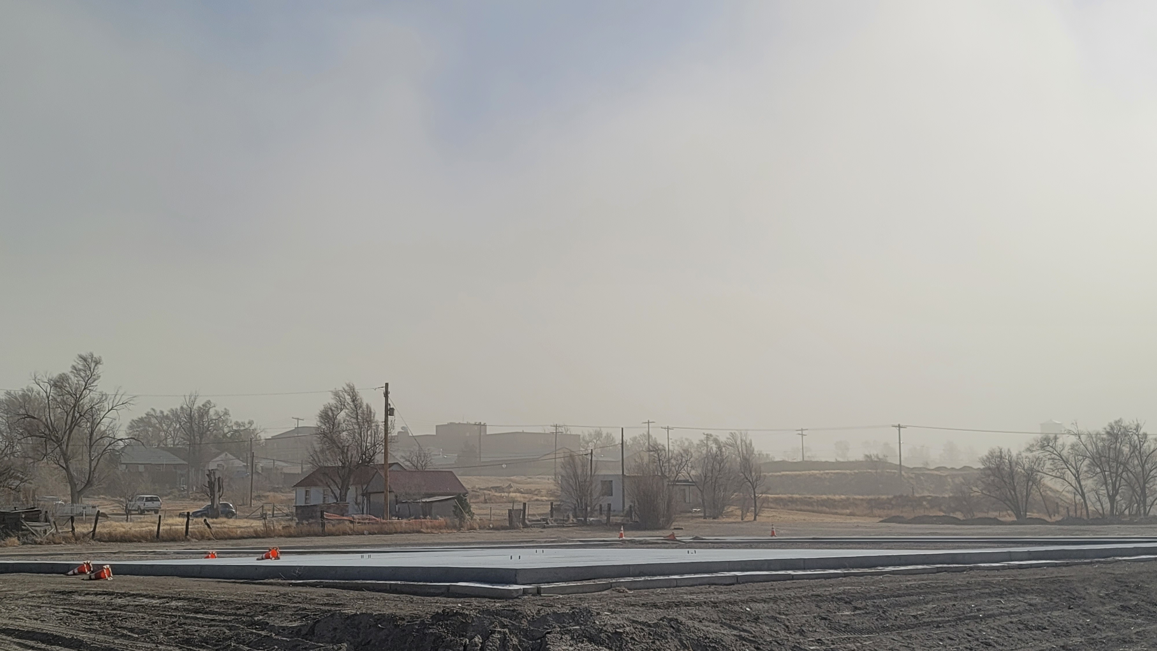
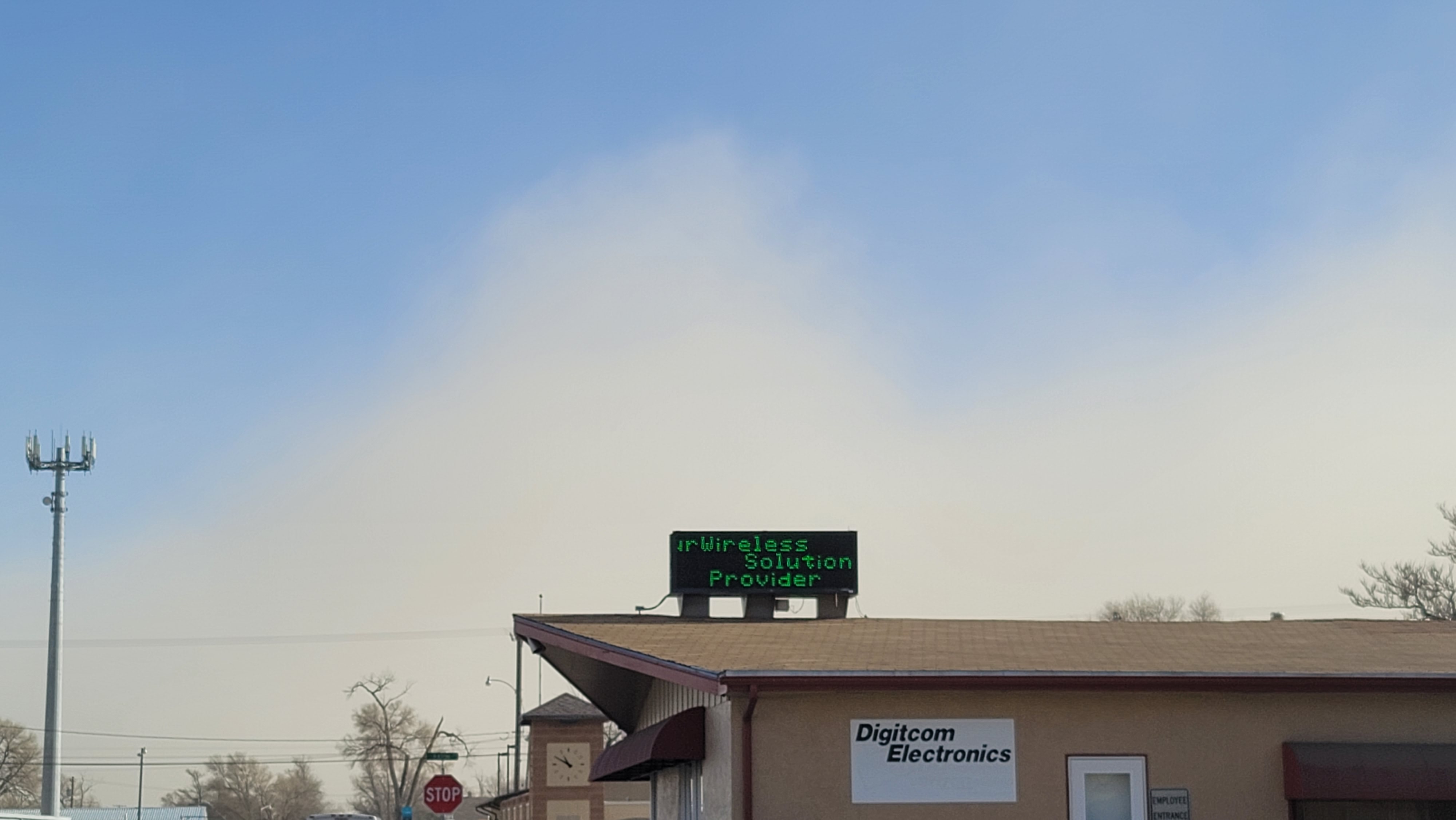
Click to Zoom
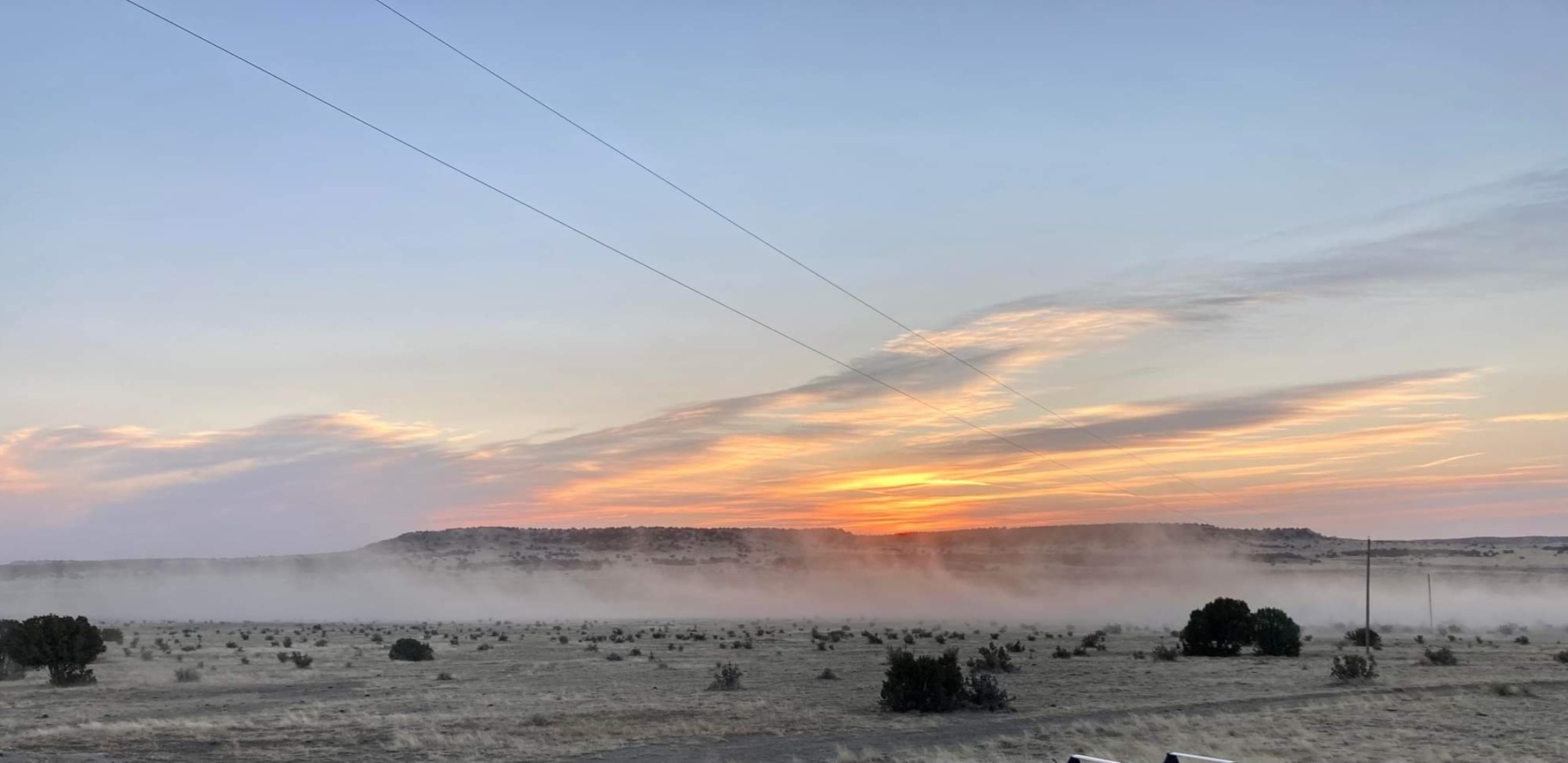
High Winds at Sunrise on Hwy 350 near La Junta, CO. (Photo by Amanda Day)
SECO Weather Sponsor
.png)


.png)


.png)


.png)


.png)


.png)


