NWS: Wind Chill Warning Remains in Effect Until 10 AM Friday Dec 23, 2022
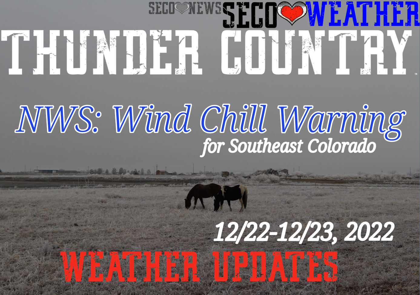
Description: The National Weather Service Office of Pueblo has issue a Wind Chill Warning for Southeast Colorado... Includes Hazardous Weather Outlook...

3:18 PM MST Wed Dec 21 2022
Teller County/Rampart Range Above 7500 Feet/Pikes Peak Between 7500 And 11000 Feet-Pikes Peak Above 11000 Feet- Pueblo Vicinity/Pueblo County Below 6300 Feet- Walsenburg Vicinity/Upper Huerfano River Basin Below 7500 Feet- Trinidad Vicinity/Western Las Animas County Below 7500 Feet- La Junta Vicinity/Otero County-Eastern Las Animas County- Las Animas Vicinity/Bent County-Lamar Vicinity/Prowers County- Springfield Vicinity/Baca County- 318 PM MST Wed Dec 21 2022
...WIND CHILL WARNING REMAINS IN EFFECT FROM 10 PM THIS EVENING TO 10 AM MST FRIDAY...
* WHAT...Dangerously cold wind chills expected. Wind chills as low as 35 below zero.
* WHERE...Portions of central and southeast Colorado.
* WHEN...From 10 PM this evening to 10 AM MST Friday.
* IMPACTS...The dangerously cold wind chills could cause frostbite on exposed skin in as little as 10 minutes.
PRECAUTIONARY/PREPAREDNESS ACTIONS... Avoid outside activities if possible. When outside, make sure you wear appropriate clothing, a hat, and gloves.
11:18 AM MST Wed Dec 21 2022 This hazardous weather outlook is for portions of central...east central...south central and southeast Colorado.
.DAY ONE...This Afternoon and Tonight High fire danger is expected today along the I-25 corridor as winds increase and humidity falls, and a Red Flag Warning is in effect from El Paso County southward to the New Mexico border for this afternoon. Tonight, an arctic cold front will race southward through the plains, with temperatures falling below zero and wind chills dropping into the twenty to forty below zero range after midnight as strong north winds develop behind the front. Snow will be possible late tonight into early Thursday morning.
While snow accumulations on the plains and through the I-25 corridor will be mainly around an inch or less, locally higher amounts are possible. Local travel impacts are also possible, due to strong northerly winds, sudden reductions in visibility, and slippery conditions. Over the mountains, high winds gusting to over 75 mph will be possible over the higher peaks of the Sangre de Cristo Range, with strong winds and light to moderate snowfall over the La Garita, Sawatch and Mosquito Ranges. The combination of wind and snow will create low visibility and difficult travel conditions over the high mountain passes overnight, especially from Monarch Pass northward.
.DAYS TWO THROUGH SEVEN...Thursday through Tuesday With the arctic airmass in place, dangerously cold temperatures will linger in the region, especially for the plains and the I-25 corridor, through Friday. Daytime high temperatures will struggle to warm above zero on Thursday, and lows will fall into the negative teens Friday morning. Wind chills will be dangerously cold, with values as low as 40 below zero possible for Thursday and Friday mornings.
This airmass will also bring snow to the region Thursday morning, though additional accumulations will be an inch or less. This bitter cold will be especially dangerous to livestock and pets, as well as people not properly dressed for extreme cold. Now is the time to be thinking about preparations on how to protect infrastructure and yourself from this high impact cold air outbreak. This arctic air mass should move out of the region by early Friday afternoon, starting a gradual warming trend through the middle of next week. Beyond Friday afternoon, no other hazardous weather is expected for the next several days.
.SPOTTER INFORMATION STATEMENT... Weather conditions that meet reporting criteria for spotters will be possible over portions of the region.
Follow SECO Weather on Facebook.
Subscribe to the SECO News YouTube Channel.
Follow SECO News on Facebook.
Subscribe to the SECO News YouTube Channel.
SECO Weather Sponsor
.png)


.png)


.png)


.png)


.png)


.png)


