NWS: Hazardous Weather Outlook 12/29/22
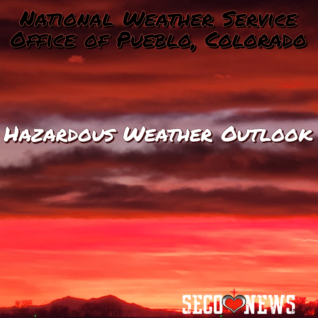
Description: The National Weather Service Office of Pueblo has issued the following Hazardous Weather Outlook at 5:29 AM on December 29, 2022.

529 AM MST Thu Dec 29 2022 This hazardous weather outlook is for portions of central...east central...south central and southeast Colorado.
.DAY ONE...Today and Tonight Rain and snow will continue this morning across the Plains. Snow accumulations should remain less than an inch. However, heavier snow bands are possible with locally higher amounts of an inch or two possible through 10 AM. Periods of light snow will continue along the Continental Divide through tonight with minor accumulations possible.
.DAYS TWO THROUGH SEVEN...Friday through Wednesday Off and on chances for light snow continue for Friday and Saturday across the Continental Divide region. Better chances for heavy snow, particularly for the San Juans, begin on Sunday, as our next low pressure system approaches the region. Snow is possible on our plains for the late Sunday into Monday timeframe as well.
.SPOTTER INFORMATION STATEMENT... Weather conditions that meet reporting criteria for spotters will be possible over portions of the region.
Follow SECO Weather on Facebook.
Subscribe to the SECO News YouTube Channel.
Follow SECO News on Facebook.
Subscribe to the SECO News YouTube Channel.
SECO Weather Sponsor
.png)


.png)


.png)


.png)


.png)


