NWS: Fire Weather Message + Red Flag Warning 3/25/23
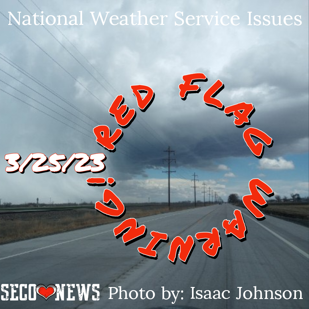
Description: The National Weather Service Office in Pueblo released the following Fire Weather Message and Red Flag Warning for the Southeast Colorado Plains at 2:36 PM for March 25, 2023... Effective 11am-8pm...

URGENT - FIRE WEATHER MESSAGE...CORRECTED
National Weather Service Pueblo CO 236 PM MDT Fri Mar 24 2023 Southern El Paso County Including Fort Carson and Colorado Springs-Pueblo County Including Pueblo- Huerfano County Including Walsenburg- Western Las Animas County Including Trinidad and Thatcher- Crowley County Including Ordway- Otero County Including La Junta and Western Comanche Grasslands- Eastern Las Animas County Including Pinon Canyon- Bent County Including Las Animas- Baca County Including Springfield and Eastern Comanche Grasslands-
236 PM MDT Fri Mar 24 2023
...RED FLAG WARNING IN EFFECT FROM 11 AM TO 8 PM MDT SATURDAY FOR GUSTY WINDS AND LOW RELATIVE HUMIDITY FOR FIRE
...The National Weather Service in Pueblo has issued a Red Flag Warning for gusty winds and low relative humidity, which is in effect from 11 AM to 8 PM MDT Saturday.
* Affected Area...Fire Weather Zones 227, 228, 229, 230, 231, 232, 233, 235 and 237.
* Winds...Northwest 20 to 30 mph with gusts up to 50 mph.
* Relative Humidity...As low as 9 percent.
* Impacts... Conditions will be favorable for rapid rates of fire growth and spread.
PRECAUTIONARY/PREPAREDNESS ACTIONS... A Red Flag Warning means that critical fire weather conditions are either occurring now, or will shortly. A combination of strong winds, low relative humidity, and warm temperatures can contribute to extreme fire behavior.
Follow SECO Weather on Facebook.
Subscribe to the SECO News YouTube Channel.
Follow SECO News on Facebook.
Subscribe to the SECO News YouTube Channel.
SECO Weather Sponsor
.png)


.png)


.png)


.png)


.png)


.png)


