National Weather Service: Thunderstorm Impacting SE Colorado 6/30/22
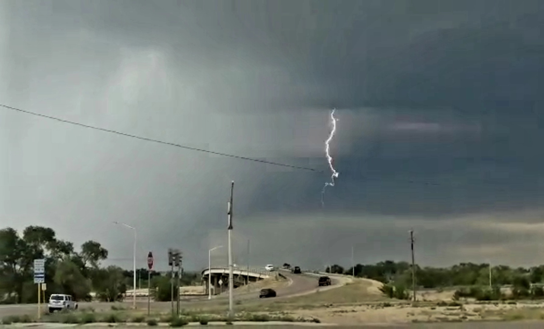
Description: EXPIRED at 8:15pm... Provided by the National Weather Service Office of Pueblo... (Photo Credit: Abby Hart)

EXPIRED at 8:15 pm - Special Weather Statement 6/30/22
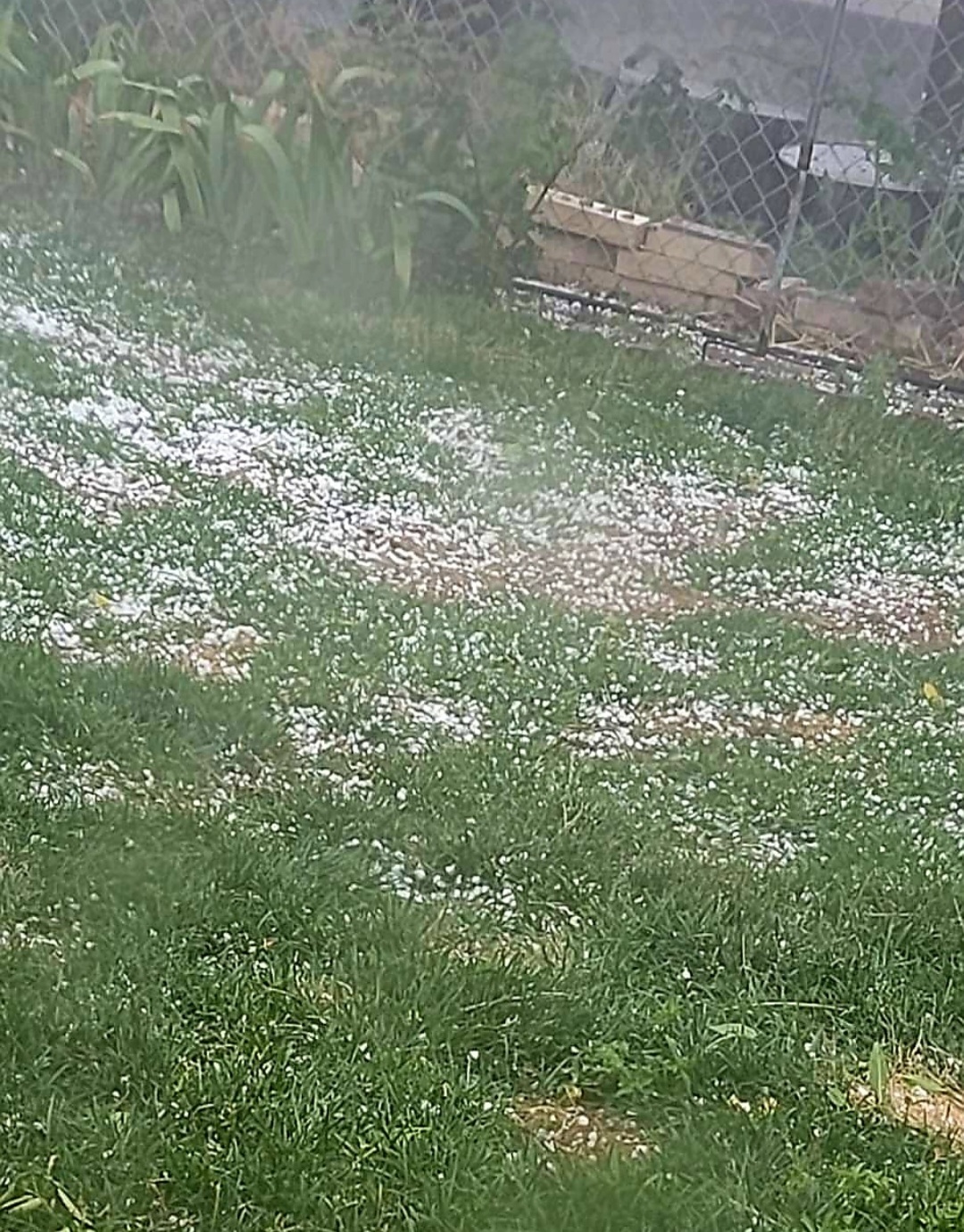
(Photo by Jody Bracy)
657 PM MDT Thu Jun 30 2022 The National Weather Service in Pueblo has issued a * Severe Thunderstorm Warning for... Prowers County in southeastern Colorado... Northeastern Bent County in southeastern Colorado...
* Until 815 PM MDT. * At 656 PM MDT, a severe thunderstorm was located 8 miles southwest of Lamar, moving east at 30 mph.
HAZARD...60 mph wind gusts and penny size hail. SOURCE...Lamar automated weather observation measured 64 mph with this storm.
IMPACT...Expect damage to roofs, siding, and trees. * Locations impacted include... Lamar, Holly, Granada, Wiley, Hartman, McClave and Bristol.
PRECAUTIONARY/PREPAREDNESS ACTIONS... For your protection move to an interior room on the lowest floor of a building.
Follow SECO Weather on Facebook.
Follow SECO News on Facebook.
Subscribe to the SECO News YouTube Channel.
SECO Weather Sponsor
.png)


.png)


.png)


.png)


.png)


