Expired: NWS of Pueblo: Strong Thunderstorms Impacting Southeast Plains 5/18/23 (Includes Gallery)
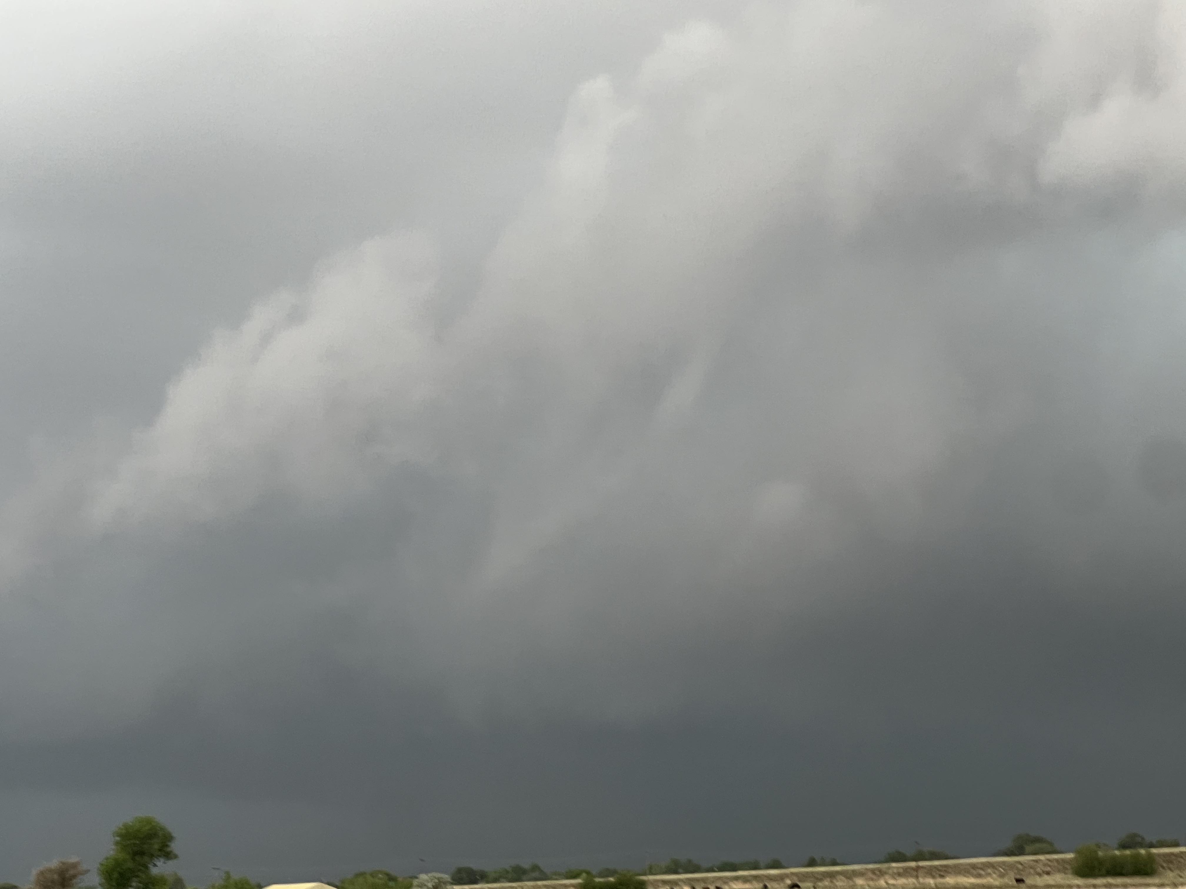
Description: Expired: The National Weather Service Office of Pueblo issued the following Special Weather Statement on May 18, 2023... (Photo by Kayleigh Gallegos)

Expired
Posts About Thursday's Southeast Colorado Thunderstorm
Special Weather Statement National Weather Service Pueblo CO 614 PM MDT Thu May 18 2023
COZ093-094-097-190045- Las Animas Vicinity/Bent County CO-Eastern Las Animas County CO- La Junta Vicinity/Otero County CO- 614 PM MDT Thu May 18 2023
...Strong thunderstorms will impact portions of southeastern Otero, northeastern Las Animas and northwestern Bent Counties through 645 PM MDT... At 613 PM MDT, Doppler radar was tracking strong thunderstorms along a line extending from 6 miles north of Las Animas to 13 miles south of Timpas. Movement was east at 30 mph.
HAZARD...Wind gusts up to 50 mph and pea size hail.
SOURCE...Radar indicated.
IMPACT...Gusty winds could knock down tree limbs and blow around unsecured objects. Minor damage to outdoor objects is possible. Locations impacted include... La Junta, North La Junta, Las Animas, McClave, Higbee, Hasty, John Martin Reservoir, Fort Lyon and Caddoa.
PRECAUTIONARY/PREPAREDNESS ACTIONS... If outdoors, consider seeking shelter inside a building. Torrential rainfall is also occurring with these storms and may lead to localized flooding. Do not drive your vehicle through flooded roadways. && LAT...LON 3820 10275 3776 10317 3752 10351 3762 10378 3792 10366 3822 10329 TIME...MOT...LOC 0013Z 286DEG 25KT 3815 10320 3763 10370
MAX HAIL SIZE...0.25 IN
MAX WIND GUST...50 MPH
Follow SECO Weather on Facebook.
Subscribe to the SECO News YouTube Channel.
Follow SECO News on Facebook.
Subscribe to the SECO News YouTube Channel.
SECO Weather Sponsor
.png)


.png)


.png)


.png)


.png)


.png)


