NWS: Red Flag Warning Issued Friday (4/15/22)
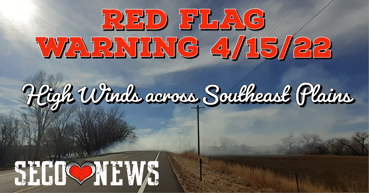
Description: The National Weather Service Office has issued a red flag warning for Friday, April 15, 2022 effective from 10am until 7pm - 30 mph gusts on Southeast Plains forecasted...

Red Flag Warning has been issued for Friday from 10 AM to 7 PM MDT for gusty winds and low humidity values for fire weather zones 222...and 224 through 237 which includes the San Luis Valley...
the Sangre De Cristo and Wet Mountains...
Fremont County and all of the southeast plains...
Fremont County Including Canon City/Howard/Texas Creek-
San Luis Valley Including Alamosa/Del Norte/Fort Garland/Saguache-
Southern Front Range Including Sangre De Cristo Mountains/Wet Mountains/La Veta Pass- Northern El Paso County Including Monument and Black Forest-
Southern El Paso County Including Fort Carson and Colorado Springs-
Pueblo County Including Pueblo-
Huerfano County Including Walsenburg-
Western Las Animas County Including Trinidad and Thatcher-
Crowley County Including Ordway-
Otero County Including La Junta and Western Comanche Grasslands-
Eastern Las Animas County Including Pinon Canyon-
Kiowa County Including Eads-Bent County Including Las Animas-
Prowers County Including Lamar-
Baca County Including Springfield and Eastern Comanche Grasslands-
Warning Issued: 1042 PM MDT Thu Apr 14 2022
RED FLAG WARNING REMAINS IN EFFECT FROM 10 AM TO 7 PM MDT FRIDAY FOR GUSTY WINDS AND LOW RELATIVE HUMIDITY FOR FIRE WEATHER ZONES 222...224...225...226...227...228...229...230...231...232... 233...234...235...236 AND 237... * Affected Area...Fire Weather Zones 222...224...225...226... 227...228...229...230...231...232...233...234...235...236 and 237.
* Winds...West 15 to 20 mph with gusts up to 40 mph in and near the mountains with gusts to 30 mph across the southeast plains.
* Timing...Friday from 10 AM to 7 PM MDT.
* Relative Humidity...As low as 8 percent.
* Impacts...Conditions will be favorable for rapid rates of fire growth and spread.
PRECAUTIONARY/PREPAREDNESS ACTIONS... A Red Flag Warning means that critical fire weather conditions are either occurring now, or will shortly. A combination of strong winds, low relative humidity, and warm temperatures can contribute to extreme fire behavior.
Follow SECO Weather on Facebook.
Follow SECO News on Facebook.
Subscribe to the SECO News YouTube Channel.
SECO Weather Sponsor
.png)


.png)


.png)


.png)


.png)


.png)


