NWS of Pueblo: Thunderstorm Statement 8/31/22
Description: Expired... The National Weather Service Office of Pueblo has issued the following Special Weather Statement.

EXPIRED
Special Weather Statement National Weather Service Pueblo CO 1000 PM MDT Wed Aug 31 2022 COZ097-098-010445- Lamar Vicinity/Prowers County CO-Las Animas Vicinity/Bent County CO- 1000 PM MDT Wed Aug 31 2020
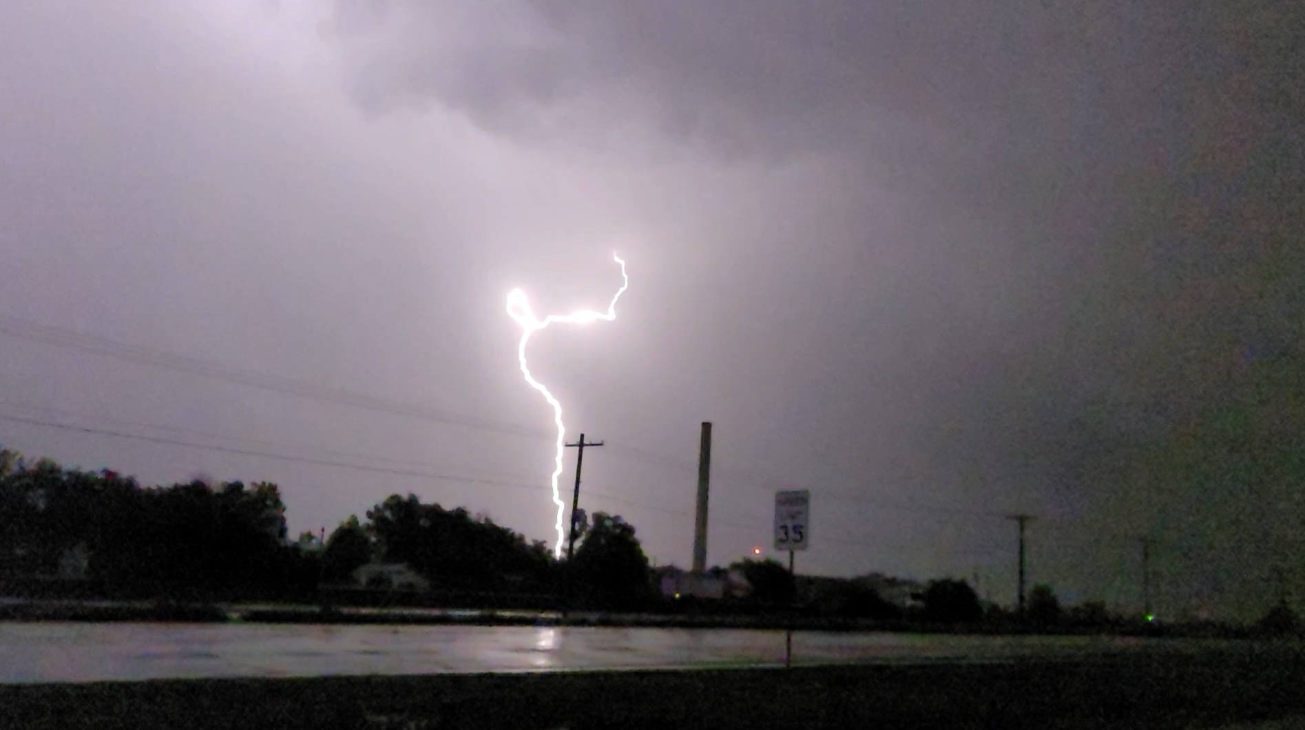
...A strong thunderstorm will impact portions of southwestern Prowers and southeastern Bent Counties through 1045 PM MDT...
At 1000 PM MDT, Doppler radar was tracking a strong thunderstorm 18 miles south of Hasty, or 20 miles southwest of Lamar, moving southeast at 30 mph.
HAZARD...Winds in excess of 40 mph and pea size hail.
SOURCE...Radar indicated.
IMPACT...Gusty winds could knock down tree limbs and blow around unsecured objects. Minor damage to outdoor objects is possible. This storm will remain over mainly rural areas of southwestern Prowers and southeastern Bent Counties.
PRECAUTIONARY/PREPAREDNESS ACTIONS... If outdoors, consider seeking shelter inside a building.
Follow SECO Weather on Facebook.
Follow SECO News on Facebook.
Subscribe to the SECO News YouTube Channel.
SECO Weather Sponsor
.png)


.png)


.png)


.png)


.png)


.png)


