NWS: Tornado Watch Extended 7/13/23
Description: The National Weather Service Office of Pueblo has issued the following severe weather statement for storms impacting Southeast Colorado...

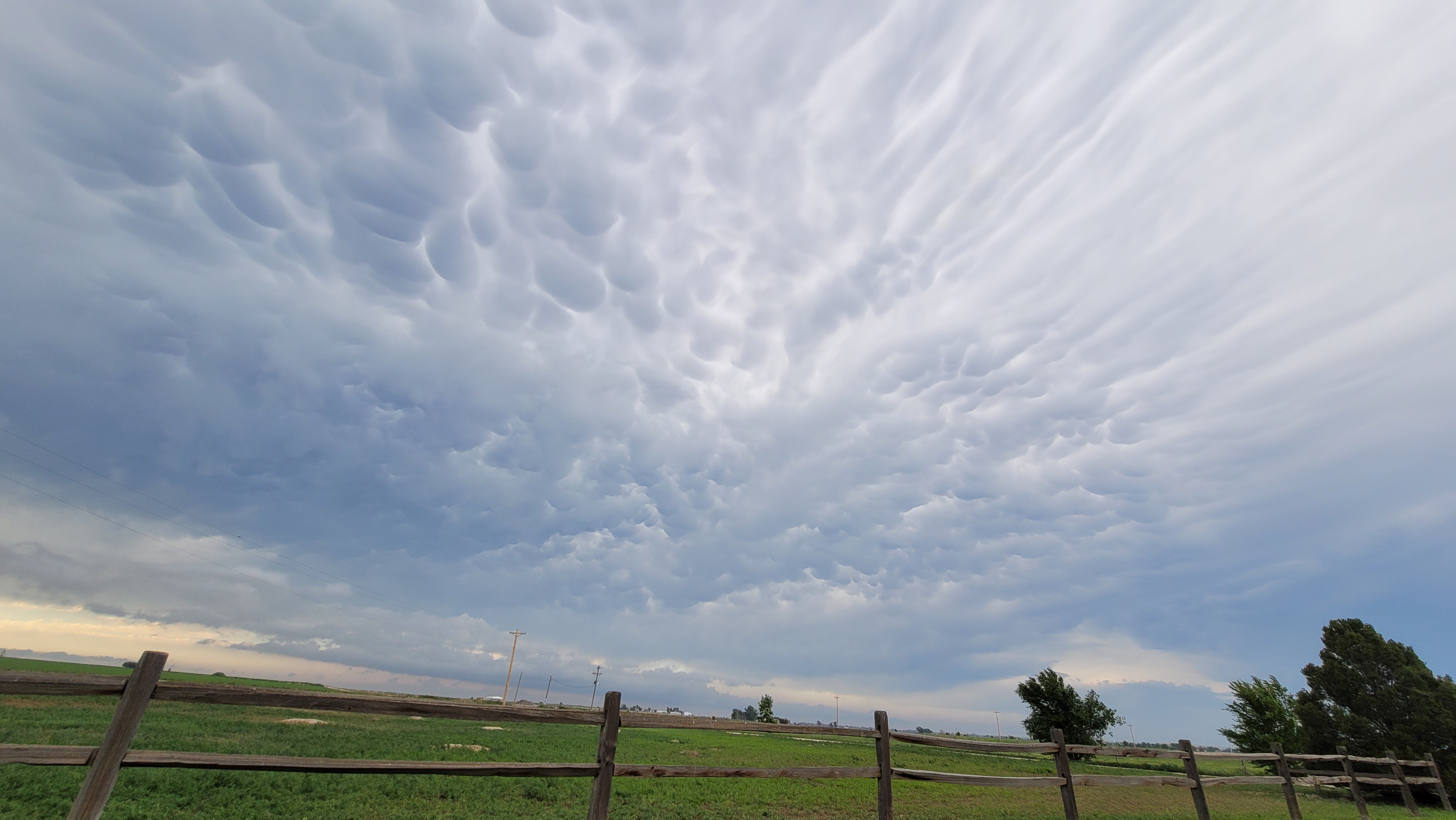
NWS: Severe Thunderstorm & Tornado Watch 7/13/23
WATCH COUNTY NOTIFICATION FOR WATCHES 483/487 NATIONAL WEATHER SERVICE PUEBLO CO 755 PM MDT THU JUL 13 2023
TORNADO WATCH 487, PREVIOUSLY IN EFFECT UNTIL 8 PM MDT THIS EVENING, IS NOW IN EFFECT UNTIL 10 PM MDT THIS EVENING FOR THE FOLLOWING AREAS IN COLORADO THIS WATCH INCLUDES 5 COUNTIES IN SOUTHEAST COLORADO BACA BENT LAS ANIMAS OTERO PROWERS THIS INCLUDES THE CITIES OF LA JUNTA, LAMAR, LAS ANIMAS, ROCKY FORD, SPRINGFIELD, TRINIDAD, AND WALSH.
Hazardous Weather Outlook National Weather Service Pueblo CO 1130 AM MDT Thu Jul 13 2023
COZ058>089-093>099-141730- Western Mosquito Range/East Lake County Above 11000 Feet- Leadville Vicinity/Lake County Below 11000 Feet- Eastern Sawatch Mountains Above 11000 Feet- Western Chaffee County Between 9000 and 11000 Feet- Central Chaffee County Below 9000 Feet- Western Mosquito Range/East Chaffee County Above 9000 Feet- Saguache County West of Continental Divide Below 10000 Feet- Saguache County East of Continental Divide Below 10000 Feet- La Garita Mountains Above 10000 Feet- Upper Rio Grande Valley/Eastern San Juan Mountains Below 10000 Feet-Eastern San Juan Mountains Above 10000 Feet- Del Norte Vicinity/Northern San Luis Valley Below 8500 Feet- Alamosa Vicinity/Central San Luis Valley Below 8500 Feet- Southern San Luis Valley- Northern Sangre de Cristo Mountains Between 8500 And 11000 Feet- Northern Sangre de Cristo Mountains Above 11000 Feet- Southern Sangre de Cristo Mountains Between 7500 and 11000 Feet- Southern Sangre de Cristo Mountains Above 11000 Feet- Northwestern Fremont County Above 8500 Feet- Western/Central Fremont County Below 8500 Feet- Wet Mountain Valley Below 8500 Feet- Wet Mountains between 6300 and 10000 Feet- Wet Mountains Above 10000 Feet- Teller County/Rampart Range Above 7500 Feet/Pikes Peak Between 7500 And 11000 Feet-Pikes Peak Above 11000 Feet- Canon City Vicinity/Eastern Fremont County- Northern El Paso County/Monument Ridge/Rampart Range Below 7500 Feet- Colorado Springs Vicinity/Southern El Paso County/Rampart Range Below 7400 Feet-Pueblo Vicinity/Pueblo County Below 6300 Feet- Walsenburg Vicinity/Upper Huerfano River Basin Below 7500 Feet- Trinidad Vicinity/Western Las Animas County Below 7500 Feet- Crowley County-La Junta Vicinity/Otero County- Eastern Las Animas County-Western Kiowa County- Eastern Kiowa County-Las Animas Vicinity/Bent County- Lamar Vicinity/Prowers County-Springfield Vicinity/Baca County
1130 AM MDT Thu Jul 13 2023 This hazardous weather outlook is for portions of central...east central...south central and southeast Colorado.
.DAY ONE...This Afternoon and Tonight Over the southeast plains along and east of a Limon to La Junta to Kim line, scattered thunderstorms are expected this afternoon and evening, and strong to severe storms are possible, with large destructive hail up to baseball size and wind gusts to 70 mph. One or two of the strongest storms may also be capable of producing a tornado as well. Further west along the I-25 corridor and over the eastern mountains, outflow from convection on the plains may spark a round of strong to severe storms late this afternoon into the evening, with hail up to golfball size and wind gusts over 60 mph. Over the mountains and interior valleys, isolated to scattered thunderstorms are expected this afternoon and evening, with lightning, gusty winds to 45 mph and small hail the main storm risks.
.DAYS TWO THROUGH SEVEN...Friday through Wednesday A cooler and wetter end to the week and start to the weekend can be expected across southern Colorado Friday and Saturday. Isolated to scattered rain showers and thunderstorms are expected each day. Stronger storms, particularly across the eastern plains, will be capable of producing large hail and strong winds. Elevated fire weather conditions are expected over the western mountains, the San Luis Valley, and the Upper Arkansas River Valley Friday through mid next week, given gusty winds and low daytime humidities, though conditions become less widespread mid next week. Much above average temperatures are becoming increasingly likely for next week. These temperatures could increase the heat risk and heated related issues for the region.
.SPOTTER INFORMATION STATEMENT... Weather conditions that meet reporting criteria for spotters will be likely over portions of the region.
Follow SECO Weather on Facebook.
Subscribe to the SECO News YouTube Channel.
Follow SECO News on Facebook.
Subscribe to the SECO News YouTube Channel.
SECO Weather Sponsor
.png)


.png)


.png)


.png)


.png)


.png)


